
The Planning & Zoning Commission is responsible for the administration of the City of Sanger Zoning Ordinance. The Commission reviews and makes recommendations on proposed changes to the City of Sanger Zoning Ordinance and Zoning Map. The Commission also reviews and approves subdivision plats on properties within the city limits and the surrounding extraterritorial jurisdiction. The Commission is composed of seven citizens appointed by the City Council and is supported by the Director of Development Services, who serves as City Planner.
Planning & Zoning
Zoning
The Zoning Ordinance and Official Zoning Map establish the permitted uses and development standards for all land within the City Limits. The Zoning Ordinance is Chapter 14 of the Code of Ordinances.
Subdivision
The Subdivision Ordinance establishes the process for platting and subdividing land within the city limits and extraterritorial jurisdiction of the City of Sanger. The Subdivision Ordinance is Chapter 10 of the Code of Ordinances, and can be accessed via the link below. For information about platting or subdividing land within Sanger’s city limits or extraterritorial jurisidiction, contact the Department of Development Services.
Long Range Planning
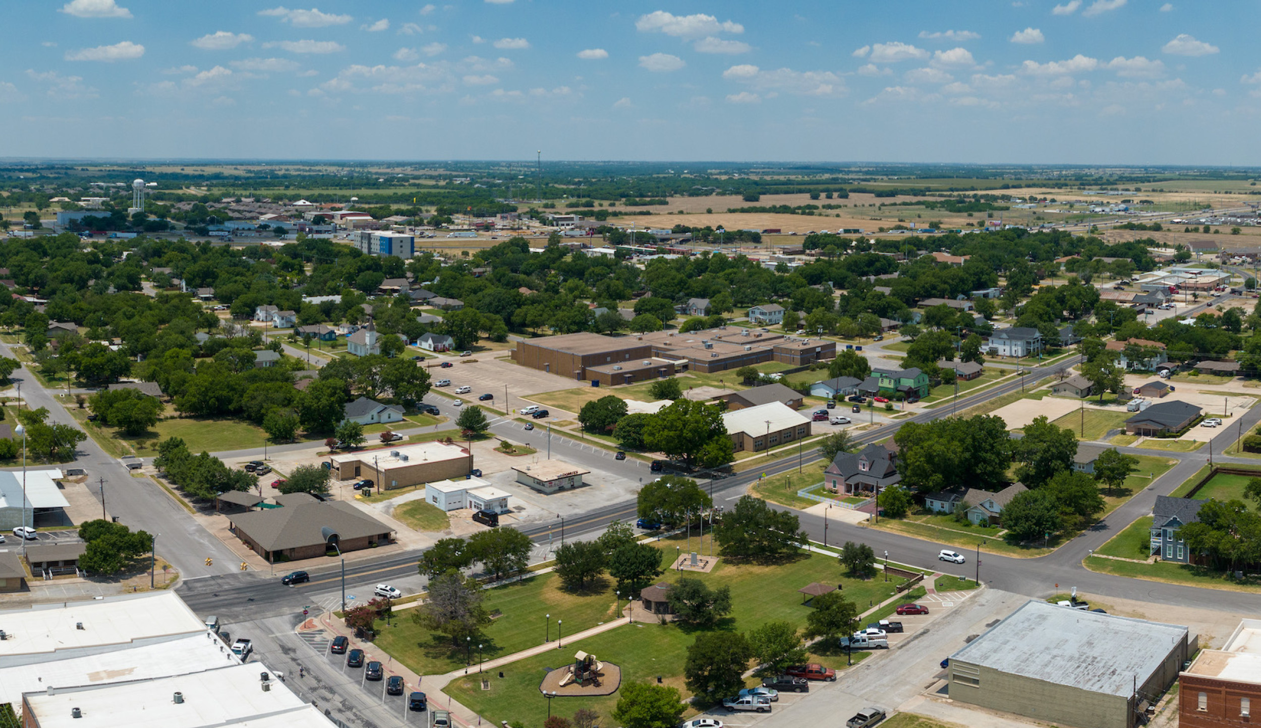
The Comprehensive Land Use Plan adopted in November 2007 directs the future growth of Sanger. The Future Land Use Map is part of the Comprehensive Plan.
More Information
General information regarding planning and zoning can be found in the City of Sanger Code of Ordinances.